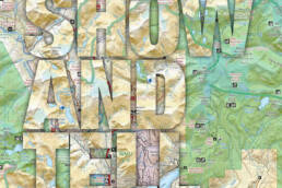
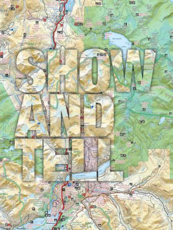
They were born on a printing press in a Surrey, British Columbia, garage and tirelessly hawked at trade shows to hunters, hikers and horse lovers. Twenty-five years and two million copies later, Backroad Mapbooks have led bush lovers down happier trails. Story by Jeff Davies.
Picture this, city slickers.
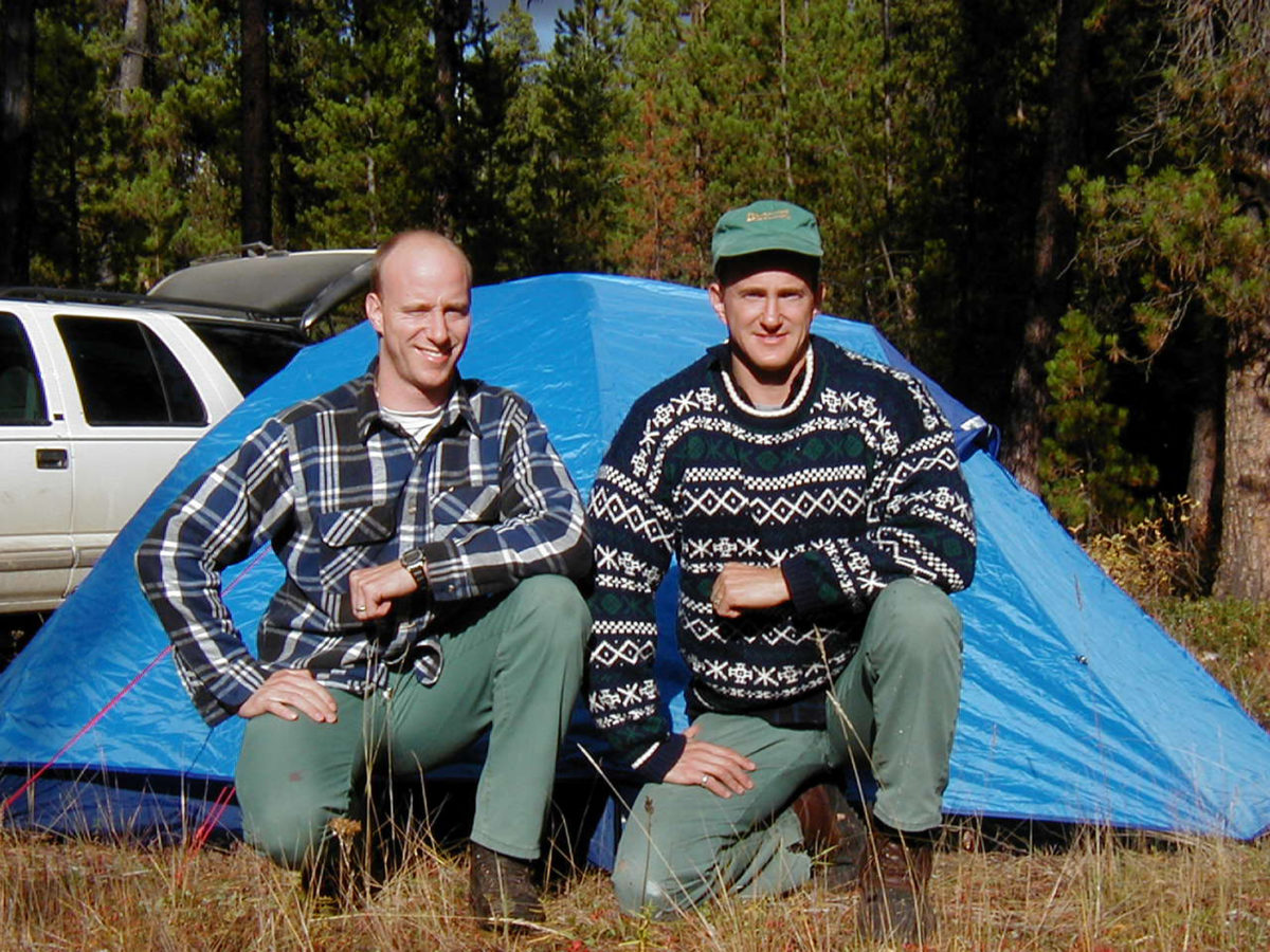
It’s the early 1990s. Two young fellows from a small town in British Columbia’s West Kootenay have moved to Vancouver to pursue their education. Wesley and Russell Mussio had never even seen a skyscraper before they arrived in the city. They brought a love of the backcountry to their new urban home.
So, one damp and chilly November weekend, they load up Wes’s little Nissan and take off on a hunting trip along the Harrison River, driving distance from the city. They have some forestry and recreation maps, but it soon becomes clear they have no real idea what’s in store as they head farther up the mountains and deeper into the bush. “We got up to a vantage point there and his little two-wheel drive wasn’t making it,” Russ recalls. “So, we tried to turn around and I remember we were going sliding off the road, and I opened the door to jump out, and Wes got stuck on the side of the road there. He said, ‘You were trying to jump out on me!’ And I said, ‘You better believe it!’ And at that point we realized there should be a better map.”
From those humble beginnings, the Backroad Mapbooks series was born. From a first run of just 3,000 copies, BRMB—as it’s known—is celebrating its 25th anniversary, with two million books in print and annual revenues in 2017 of more than $2 million. The books cover all ten provinces, and the company is expanding its Global Positioning System (GPS) coverage into the Canadian North. The Mussios have accomplished this while navigating the minefields of British Columbia land-use policy, where middle ground can be tough to find among the hikers and climbers, the four wheelers and mountain bikers, and the hunters and anglers, to say nothing of ornery property owners. “We try to make the guidebook a useful product for any type of adventure so we don’t get political,” says BRMB Vice President Chris Taylor. “There are lots of different organizations like ATVs or hiking or horseback riders that may have different opinions. We don’t pick and choose who the best person is. We just try to appeal to everybody.”
When I seek out opinions about Backroad Mapbooks on a Vancouver Island hikers’ Facebook site, almost everyone has something positive to say.
- Awesome books! I too bought the first one and many more.
- The information has opened up lots of areas I had previously only guessed about.
- My little one and I love ours, it has been highly educational for her.
- It has totally opened up the realm of places that I explore and has helped greatly with preplanning adventure trips.
Today, BRMB is a based in an office in a commercial strip mall in suburban Coquitlam, British Columbia. It’s full of eager young techies, some wearing the company’s bright orange BRMB logo on their T-shirts, hunched over their computers and work tables. There are landscape photos on the walls and mapping programs on computer screens. And, of course, there are the obligatory foosball and air hockey games. There are 15 employees including the Mussios, although Wes is based in downtown Vancouver and Russ is in Kelowna in British Columbia’s Okanagan Valley.
From humble beginnings, the Backroad Mapbooks series was born. From a first run of just 3,000 copies, BRMB—as it’s known—is celebrating its 25th anniversary, with two million books in print and annual revenues in 2017 of more than $2 million.
It’s very different from the early days. The first map books were, as the Mussios admit, very simple; they were hand drawn, little more than black roads and blue lakes on white maps, with brief descriptions of fishing spots, hiking trails, and campsites in the back pages. Russ drew the maps while Wes did the writing. They had a printing press in Wes’s garage in Surrey, British Columbia.
 It may have seemed a long shot, but BRMB’s founders had very good timing. As the population ages and boomers retire, more people are taking to the outdoors. Wilderness recreation is growing in the province. Second, the books were launched on the cusp of the digital age. Twenty-five years ago, few people had heard of a GPS or Geographic Information System. Today, technology not only helps guide people in the outdoors, it also provides a wealth of information that can be incorporated into the map books.
The BRMB story starts in Trail, where the Mussio brothers were raised. Their father was a metallurgist by profession and an outdoorsman by inclination. He refused promotions to bigger cities because he liked the small-town lifestyle. Their mother, meanwhile, was a keen hiker. “Every weekend we would get out fishing, hiking, hunting, camping,” Russ recalls. “We didn’t have the games kids have today to distract us. We’d get up in the morning and go outside and they’d ring the bell at 5:00 p.m. We’d go out fishing at Trout Creek or Stoney Creek or whatever.” So, the West Kootenay town, home to the Teck smelter and the Smoke Eaters hockey team, forged a pair of brothers who not only thrived in the outdoors but also put their stamp on it in a way very few other British Columbians can claim.
Back when they were teens in Trail, they had been drawing maps to guide their hunting trips, urged on by their father, who had also done some surveying. “I remember my dad was always saying, ‘Which way is north? Where is the north arrow?’” Russ says. Later, when the brothers moved to Vancouver, they explored new opportunities in the outdoors, but they found the forestry maps of the day to be of limited use in the backcountry. At the time, there were good city map books, with detailed information about streets, schools, and parks, but there was nothing comparable for the outdoors. Sure, there were recreational maps, as well as forest service maps that showed campsites and roads. Some forestry companies issued their own maps of logging roads. And, of course, there were topographical maps produced by the federal government that showed contour lines and geographic features. The Mussios decided to combine all those elements in one booklet.
 In practical terms, the first Backroad Mapbook was launched as part of Russ’s studies at the University of British Columbia in the Leisure and Sports Administration program. He completed one thesis on adventure tourism and a second on creating a map book for the outdoors. Professor Wendy Frisby encouraged him to focus on the business side of the operation. “Thankfully I was already at university and had the ability to do the business research,” he says. “I was able to investigate loans, do a proper business plan, and investigate the competition. The forced me to do all that work.”
The brothers incorporated all that into the first Backroad Mapbook, this one for southwestern British Columbia. They published it themselves. They hired a printer to crank out the booklets in Wes’s garage. They sold all 3,000 copies in a month, and made about $6,000 in total revenues. “That’s when we knew we had something going, even though they were absolutely very amateurish to say the least,” says Wes.
Russ Mussio says he understands why people may be apprehensive about opening up access to the backcountry, which can lead to vandalism and illegal dumping. “From our concern it should be open to the public as long as you are not abusing it.”
The older brother by five years, Wes has pursued a markedly different career path from Russ, but one that’s also come in handy in building the company. Wes studied forestry and became a registered professional forester, but also earned a law degree with the idea of becoming a forestry lawyer, a highly specialized field. He made lots of contacts in the forest industry he was able to call on later. But when he discovered most of his time would be in the office doing paperwork, he switched to civil litigation and became a personal injury—probably not a bad line of work for someone who has helped send thousands of people deep into the British Columbia backcountry.
As we speak, Wes is in his shirtsleeves in the boardroom of his downtown Vancouver law office, unwinding on a warm Friday afternoon after a long day in court. The room, with its leather chairs, dark wood, and artworks of silver and porcelain, seems a world apart from the backcountry. Wes says one of the reasons Backroad Mapbooks has been successful is his ability to read the public. “That is one of the fortes I have as a lawyer and why I am highly successful at litigation. I can read a courtroom. I can read people. One of the things people in business often don’t do is talk to people, understand what people want and need and what their expectations are.”
Meanwhile, at BRMB headquarters in Coquitlam, Taylor echoes those comments. “Listening to our customer base is the biggest part. We attend a lot of trade shows every year. The bigger you get the more difficult it is, but we’ve never stopped listening to what they want, what they would like to see, adding a lot of features so it doesn’t get stagnant,” he says. “Sportsmen’s shows, outdoors shows, adventure shows, paddling, hunting, fishing, ATVs, snowmobiles, any type of outdoors shows. We try to attend them from here across Canada.”
https://youtu.be/WTM_PQ9pQHs
The books are now glossy outside, professionally designed, and bursting with information on hiking trails, paddling routes, parks, campsites, and viewpoints. They are, in fact, a little more challenging to read than the early editions, but there is far more information, a much bigger reference section, and maps that are lined, shaded, and contoured to show terrain in detail.
There are some criticisms, of course. Many hikers in the Vancouver Island online hiking forum say the maps, particularly those for the island, need to be updated more frequently, because of the loss of access to back roads as forest companies close gates on private woodlands. Some users also complain the mapping scale is too small to show the reference points needed to navigate in the bush. “The Backroad Mapbook is excellent for an overview,” says Mike Blake, who operates MB Guiding in Victoria. “You can see the whole island in one picture. If I want to see Cape Scott I can see it’s page 49 just thumbing through the book. However, when I go to the trail I wouldn’t want to just rip this page out of the book. I want a more detailed map for when I’m hiking just to have more references on the trail.” Blake says he uses the guides to get the big picture, “but I wouldn’t want to depend on them as my primary navigational tool. Because they are so easily attainable by the public, people get complacent with it.”
Blake says a well-equipped hiker should do a lot of planning first, leave a plan at home, and head out in the field with a map and compass, a smartphone with GPS, as well as a dedicated GPS device. In fact, the Mussios agree that no one should venture into the wilderness armed simply with one of their map books. They also publish larger paper maps for specific areas, as well as GPS software, and a smart phone app. A little common sense also comes in handy.
“Some guy decided to use our map book for a 10-day rafting adventure and went over a 100-foot [30-metre] waterfall on the Ram River in Alberta, and he had the gall to tell the police it was our fault,” Russ says. “He survived, so the police called us up and I kind of laughed at the guy. The paper picked it up and said I didn’t have any empathy. I’m like, well, he rented a helicopter to take him to the headwaters. Would they not have used the helicopter to scout the major obstacles rather than relying on this one paragraph?” His brother Wes, of course, is a lawyer, and his legal training sometimes comes in handy. These days the map books include a disclaimer that reads in part: “Backroad Mapbooks does not warrant that the backroads, paddling routes, and trails indicated in this Mapbook are passable, nor does it claim that the Mapbook is completely accurate. Therefore, please be careful when using this or any source to plan and carry out your outdoor recreation activity.”
The Mussio brothers incorporated their knowledge into the first Backroad Mapbook, for southwestern British Columbia. They published it themselves. They hired a printer to crank out the booklets in Wes’s garage. They sold all 3,000 copies in a month, and made about $6,000 in total revenues.
Keeping up with the constant changes, including road closures, blowdowns, slides, and washouts, is a big challenge, as Russ notes, “One day you could have a beautiful walking path and the next day there are blowdowns, or the river rises, or there are slides.” The mapmakers try to address that by keeping in touch with the forest companies—which may not always be forthcoming—with various government agencies, with their own network of users, and also by using other sources, such as Google. They update the map books every three years and the GPS programs annually. They do hope to produce maps in the future with a larger scale so they’re easier to read.
These days more people, particularly the young, are turning to digital products. “We are at a crossroads,” Wes says. “People still want their books but younger people want everything digital. We will focus more on GPS and our own app.” But there are no plans to stop publishing the map books. The demand is still there, even in the digital age. At least, as the Mussios note, you never have to worry about the batteries dying.
Of course, the people at BRMB face one other challenge: dealing with folks who would rather they did not open up the backcountry to more users. They sometimes encounter resistance from protective property owners, or anglers, hunters, and hikers who don’t want to share “their” special spots. “A case in point,” says Russ, “Several years ago I was filling up somewhere in southern BC and this one guy was kind of looking at me, and he said, ‘I saw your truck, I noticed the BRMB emblem on there,’ and he goes, ‘I don’t know whether to hug you or punch you in the head! I love your product. I use it all the time, but I’ve also had this property for 35-plus years and never once had anyone come through the back. In the last six years I’ve probably had 30 or 40 people, and every one has one of your map books.’”
Russ says he understands why people may be apprehensive about opening up access to the backcountry, which can lead to vandalism and illegal dumping. “From our concern it should be open to the public as long as you are not abusing it.” He points out there are some landowners who are illegally blocking public access. A few years ago, he ran into one such individual, a farmer in a small Kettle Valley community who posted a no-crossing sign on a road Russ knew to be public. The farmer went so far as to call the police and accuse Russ of drug smuggling and using a helicopter. “So before you know it they have these cops there, and they say, ‘I know you, we buy your books all the time. We love them.’” There were no charges against the mapmaker or the property owner, who, it turns out, was well connected in the community.
The people at Backroad Mapbooks say they’re empowering and informing British Columbians to get out there and enjoy the outdoors, to appreciate their heritage: the 94 per cent of the province that is crown land. “We have saved many trails by publishing them,” says Taylor. “By having it published and named it is a lot harder for the land to be changed or taken away.”
But of course, 25 years ago, when Wes and Russ struggled along a mountain road in their little Nissan, they weren’t thinking that far ahead. Their minds weren’t on profit margins or press runs or public land-use policy. They just wanted a safe route back to town.
Jeff Davies is a freelance writer and retired CBC political reporter in Victoria, known for his wicked love of the outdoors, his equally wicked collection of maps, and his really wicked Texas Chain Gang Chili.
Related Stories
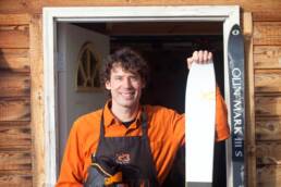
From Skis to Headlamps: Meet the Craft Gear Makers of the Kootenays
Canada’s first craft outdoor gear alliance is rolling out a #ShopLocalBC campaign in which Kootenay makers step into…
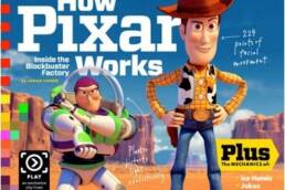
Toy Story 3 – The Kootenay Connection
What do Toy Story 3, the iPad, and KMC contributing photographer and part-time kootenay resident Bryce Duffy all have…
Meet Hickshow Productions
Hickshow Productions is as grassroots as it gets: they're Slocan Valley sleddin' souls who have a scene or two to…
Meet Pemberton Carver Ryan Scoular
Third-generation carver Ryan Scoular of Pemberton, British Columbia, is a chip off the old block. By Lisa Richardson.…
Film: Valley Uprising – the Story of Yosemite’s Wild Pioneers
Valley Uprising is a game changer. Rock climbing films typically feature buff guys and semi-clad women dangling from…